Aerial Photo Packages
We offer two standard "marketing" aerial photo packages, but are happy to adapt to your specific requirements:
"Single Altitude Package"
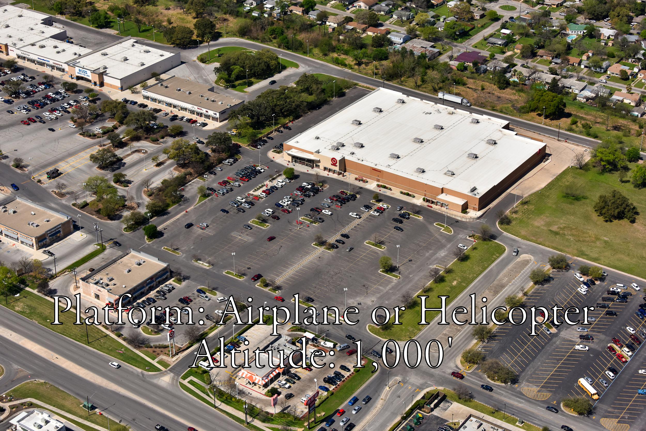
Low altitude (1,000' above ground level) "close-ups" from eight compass points
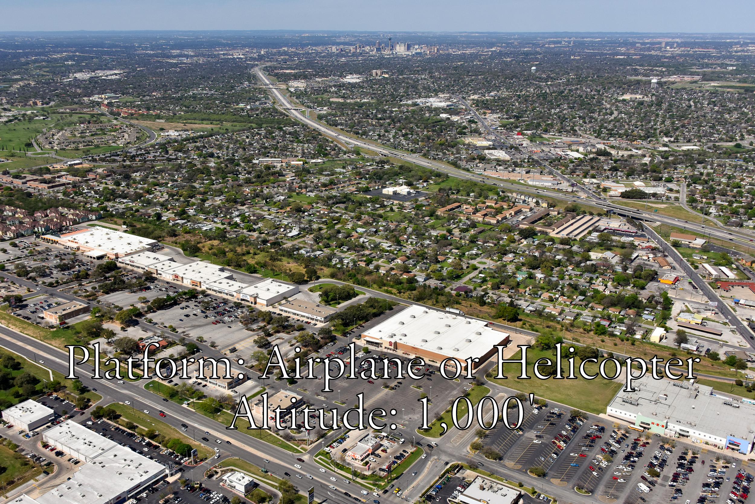
Low altitude (1,000' above ground level) "wide-angle" views from eight compass points with your site centered in the lower one-third of the frame and looking out towards the horizon
"Dual Altitude Package"
Low altitude (1,000' above ground level) "close-ups" from eight compass points
Low altitude (1,000' above ground level) "wide-angle" views from eight compass points with your site centered in the lower one-third of the frame and looking out towards the horizon
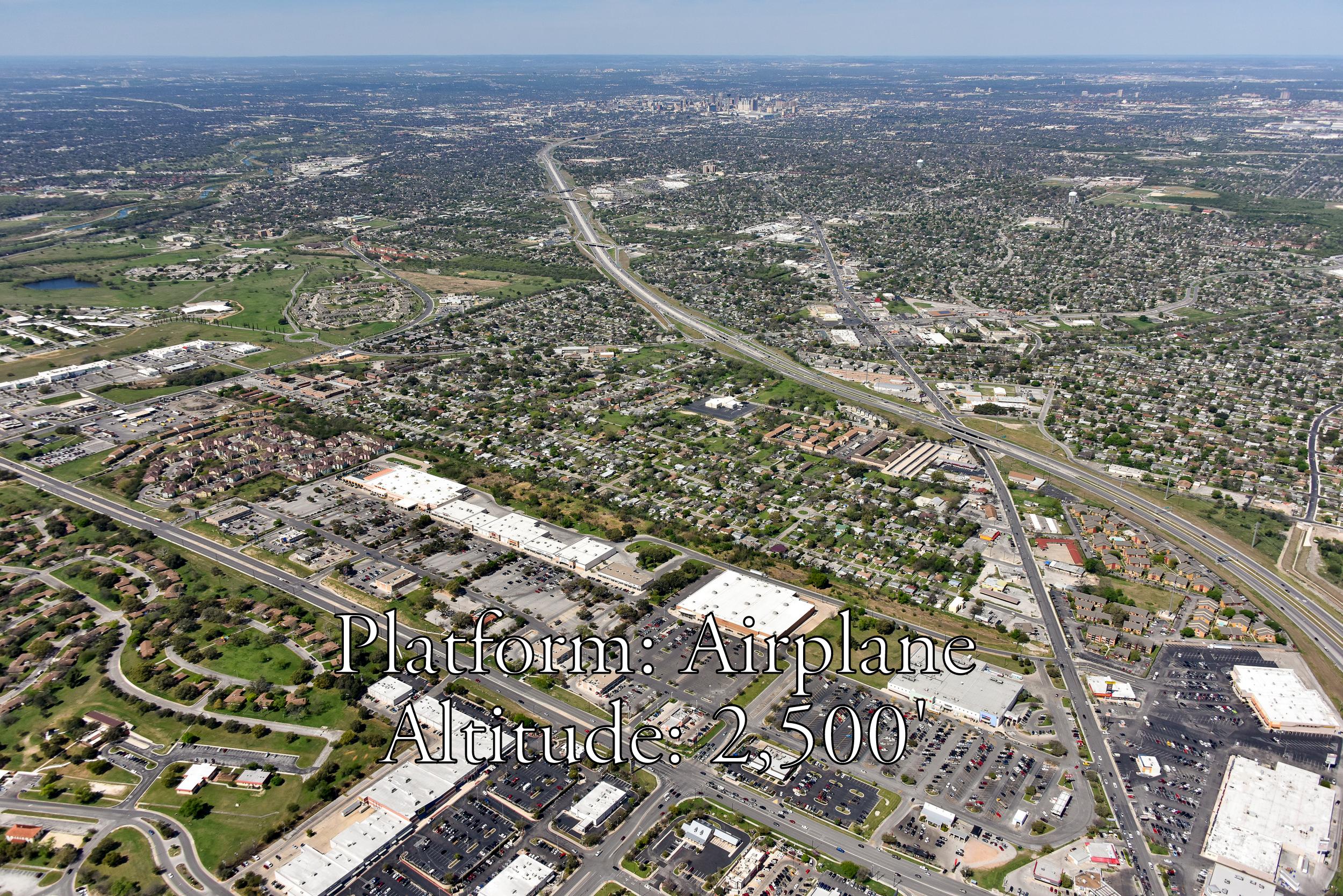
High altitude (2,500' above ground level) "wide-angle" views from eight compass points with your site centered in the lower one-third of the frame and looking out towards the horizon
Your images will be delivered electronically via a download link. Additional services can be provided for an additional charge:
Images saved on CD or other media
Images saved in commercial print quality 36-megapixel .tiff file format
Computer graphics
Photographic enlargements
Pricing depends upon a number of factors including location, timing, and your specific photo shoot requirements. Contact us to discuss your requirements or complete our online Quote Request form to receive a quote.
SITE LOCATOR
Get things started with our easy-to-use app...
Platforms and Altitudes
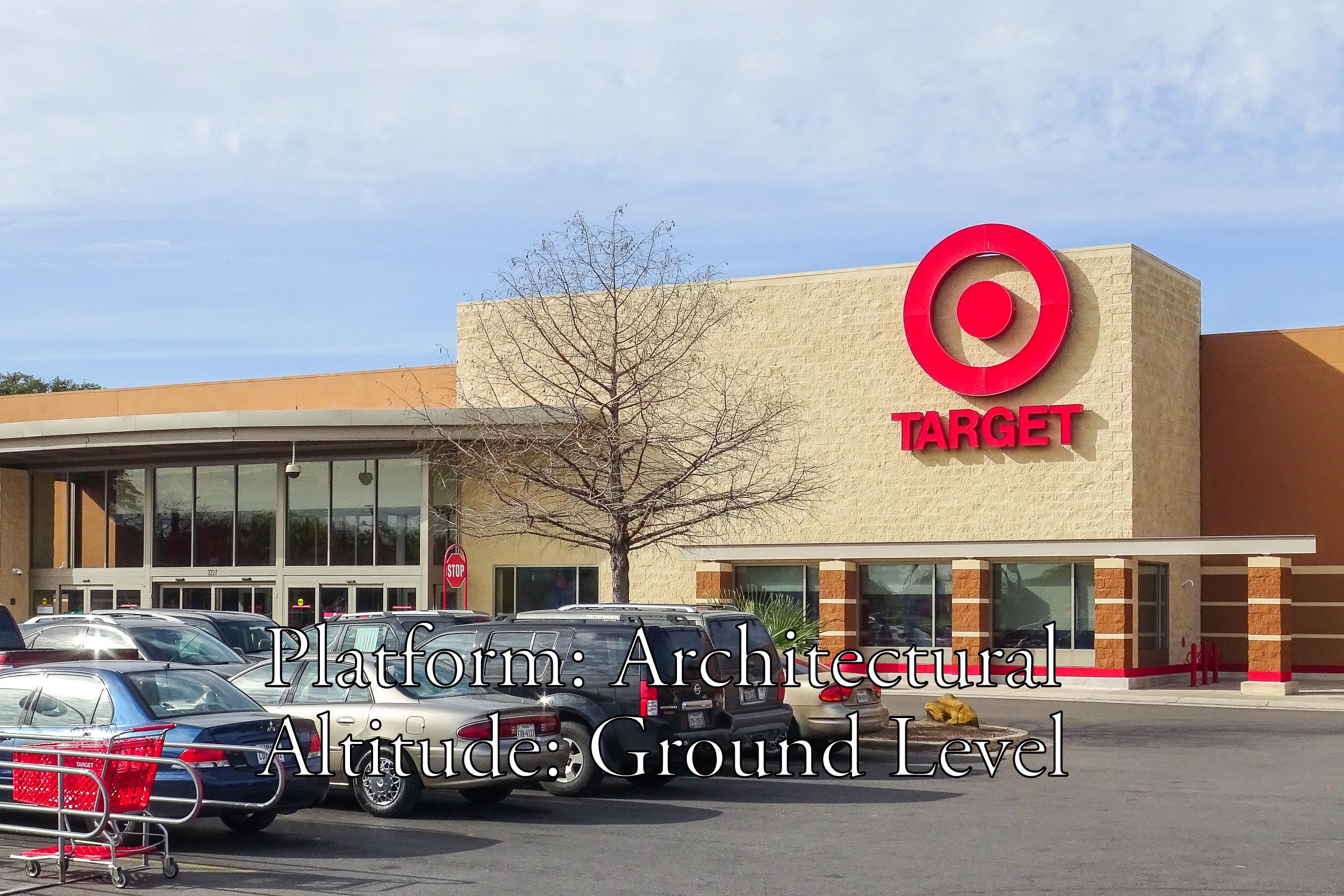
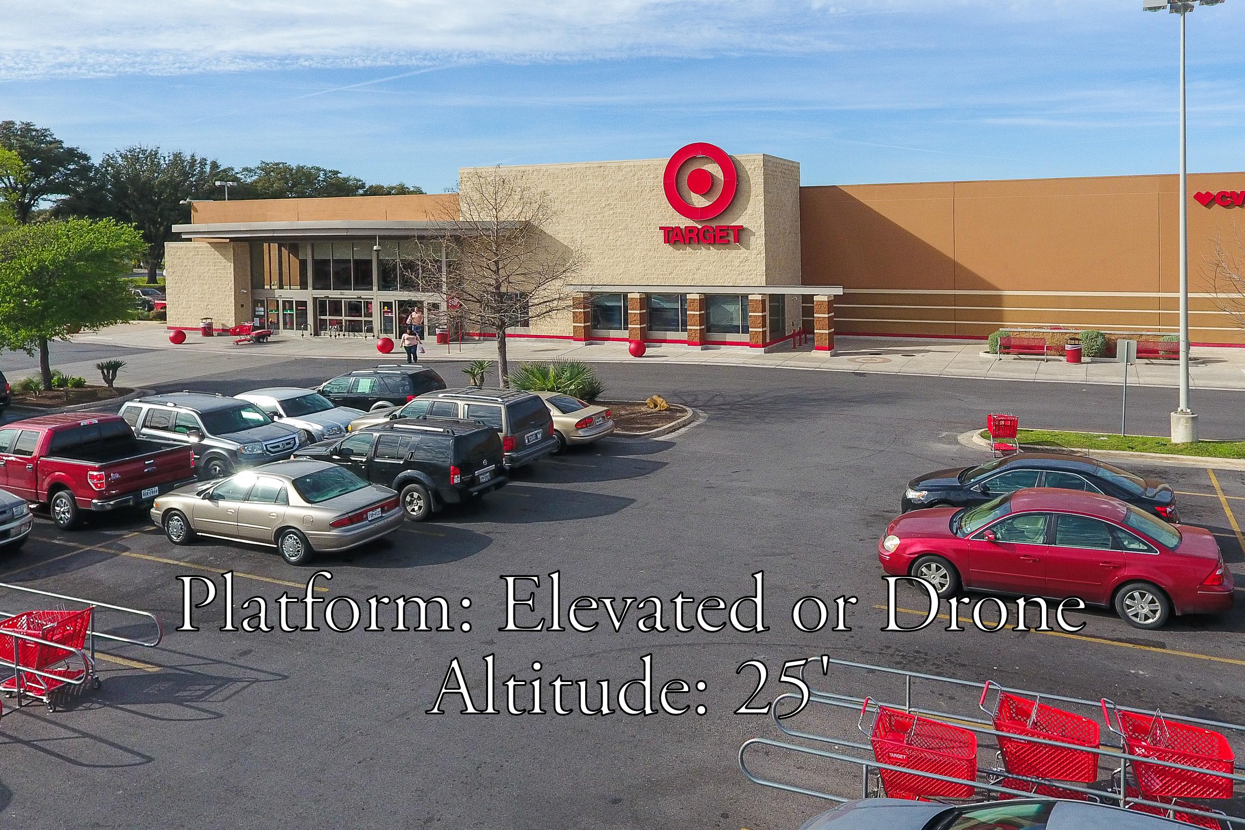
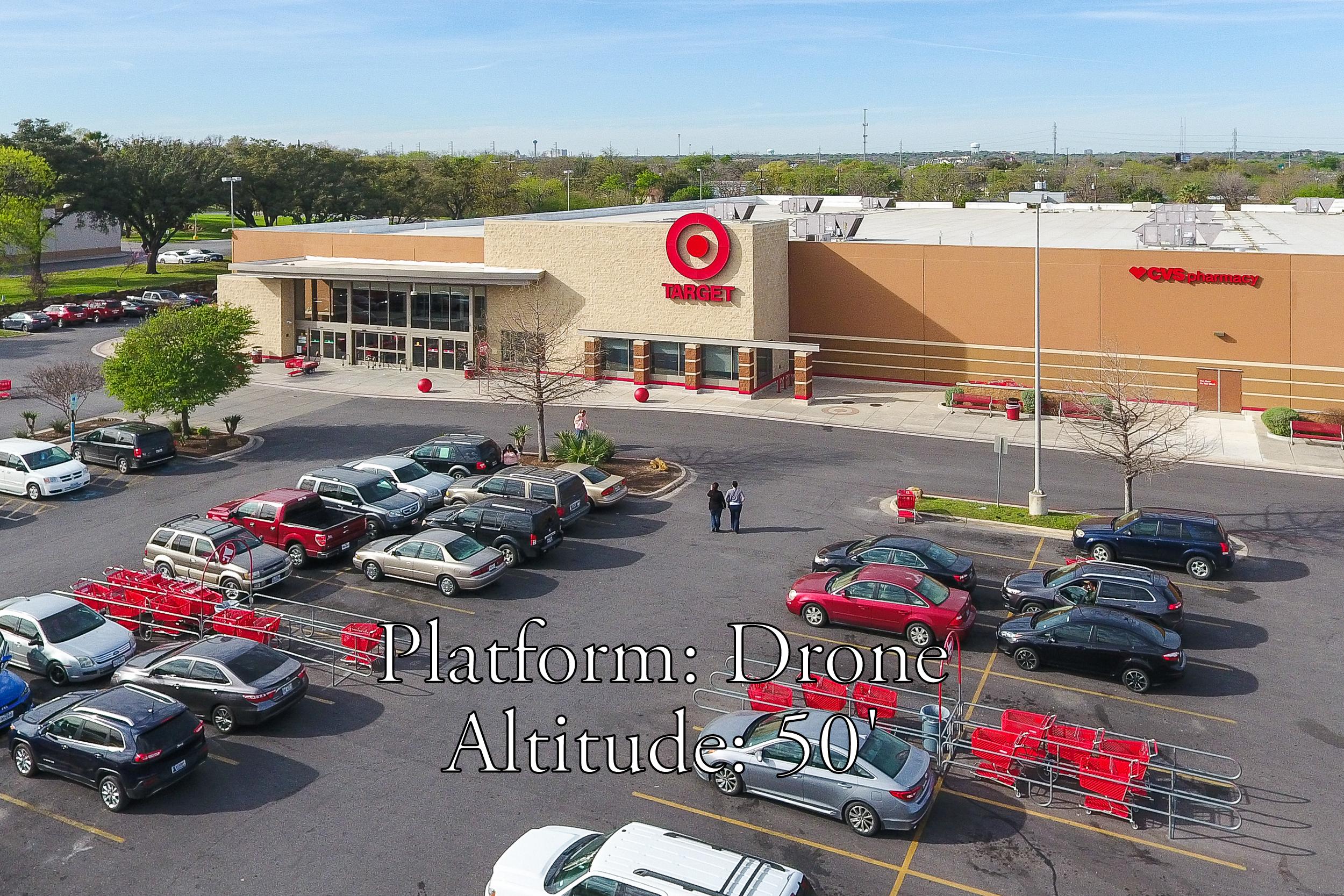
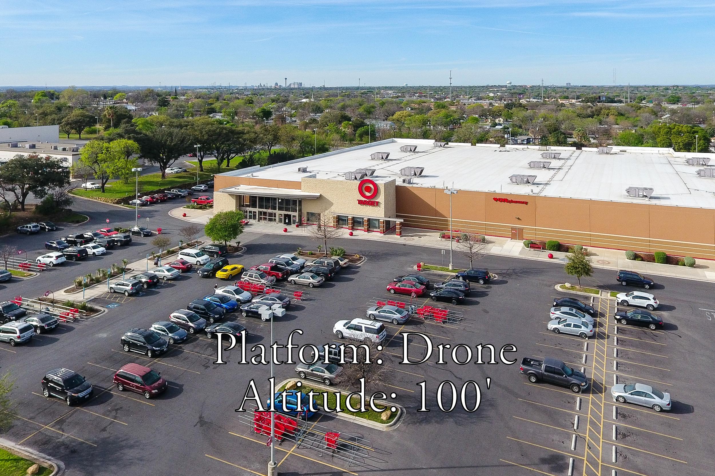
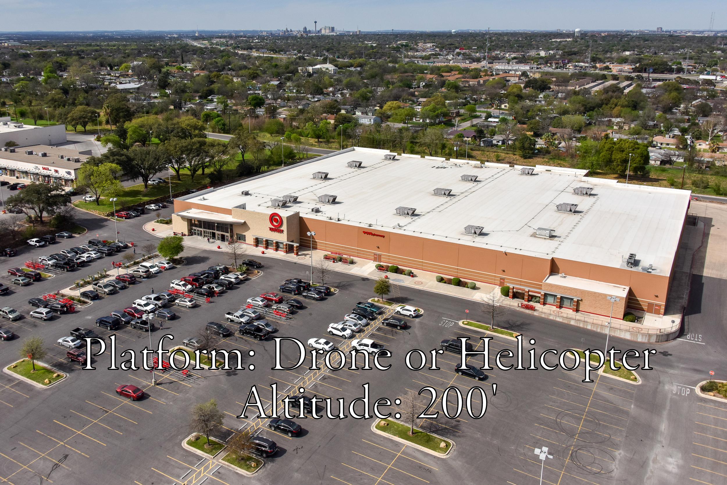
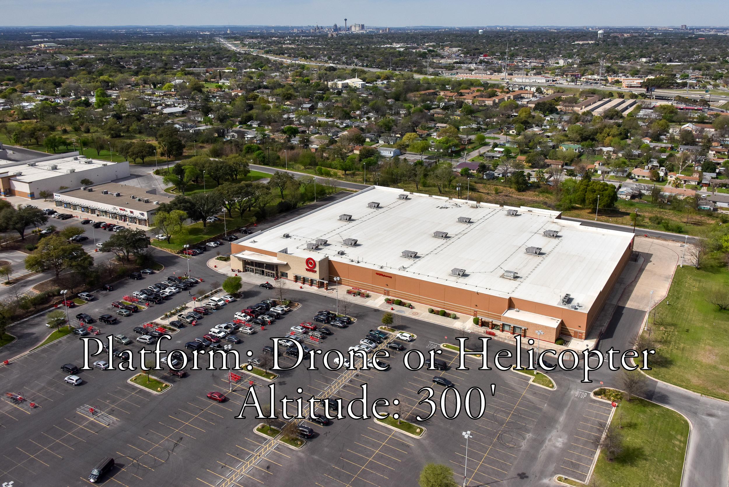
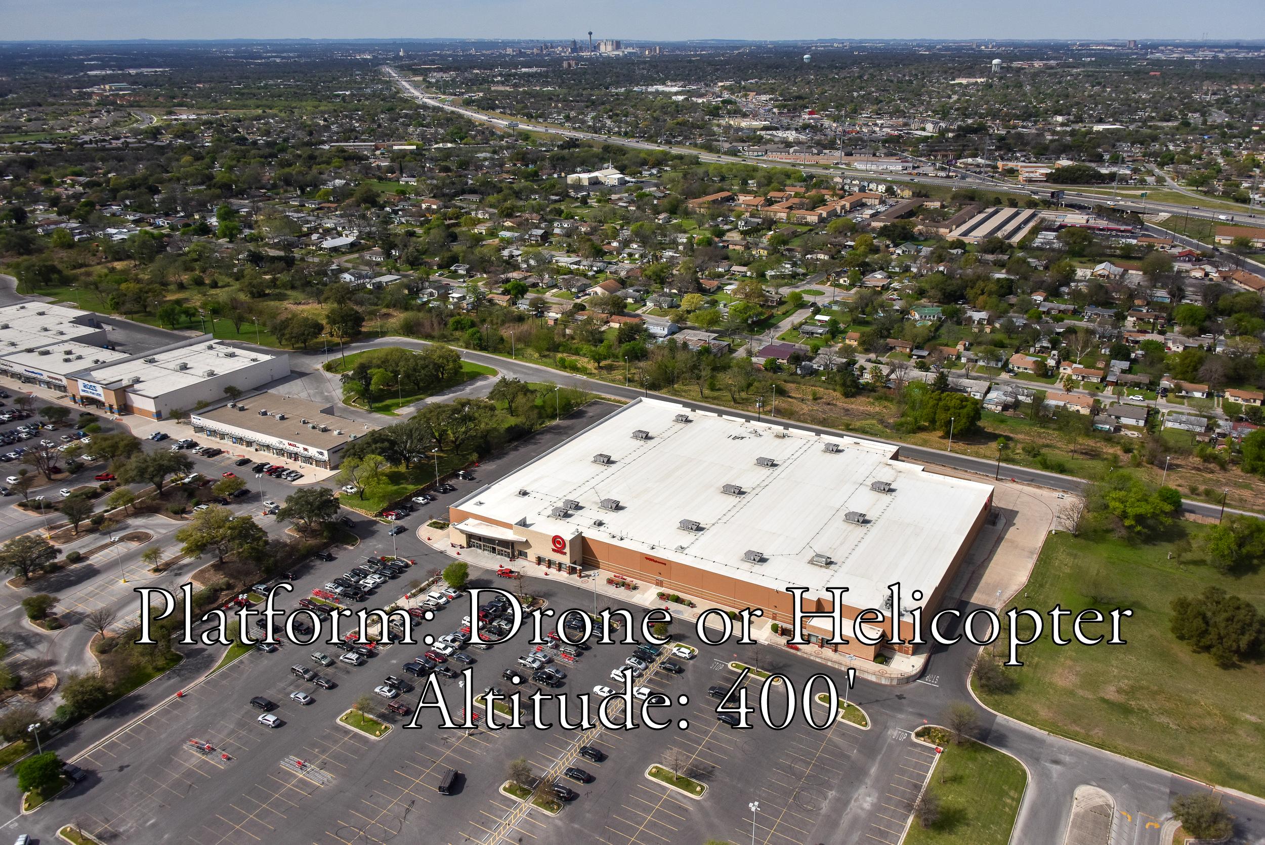
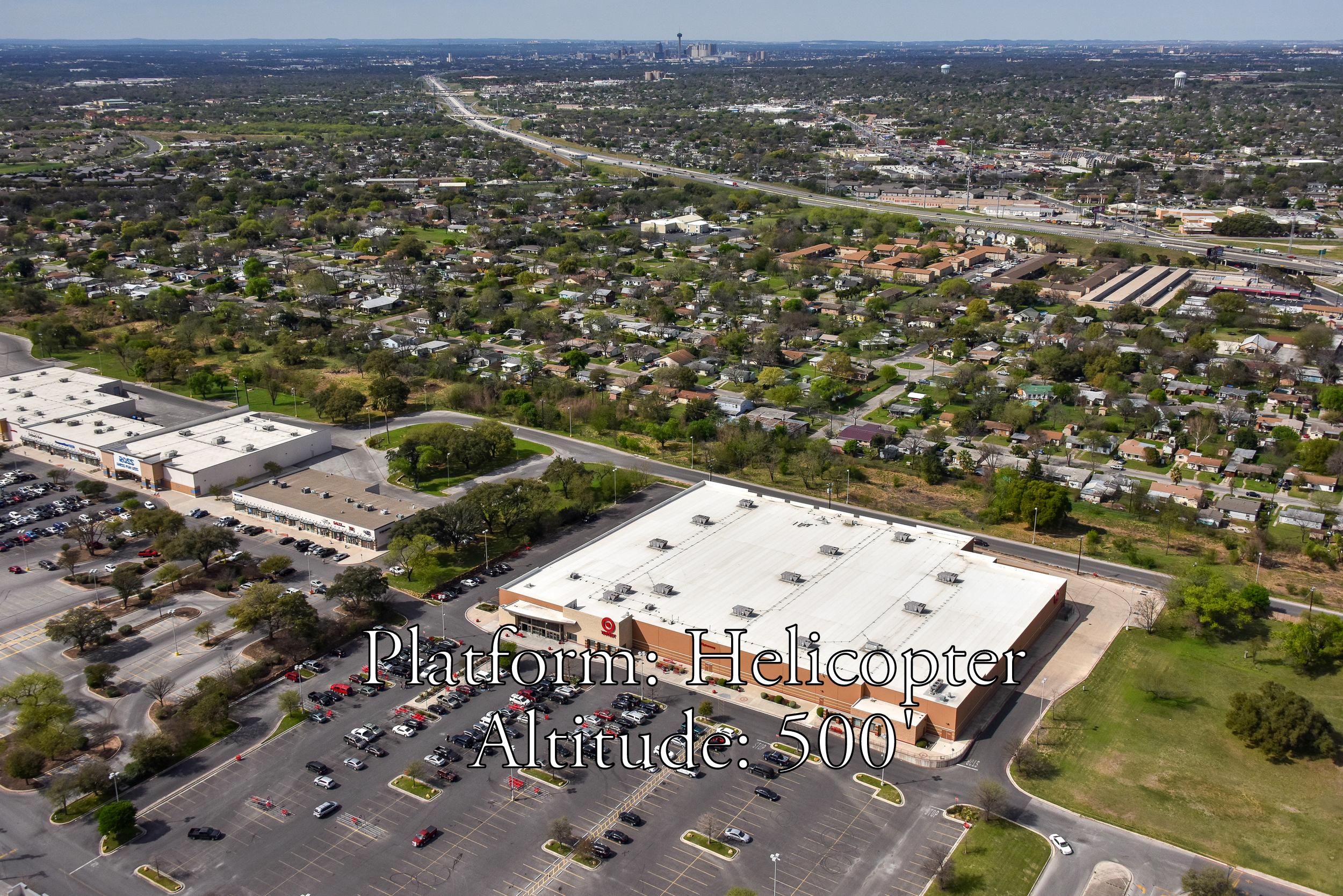
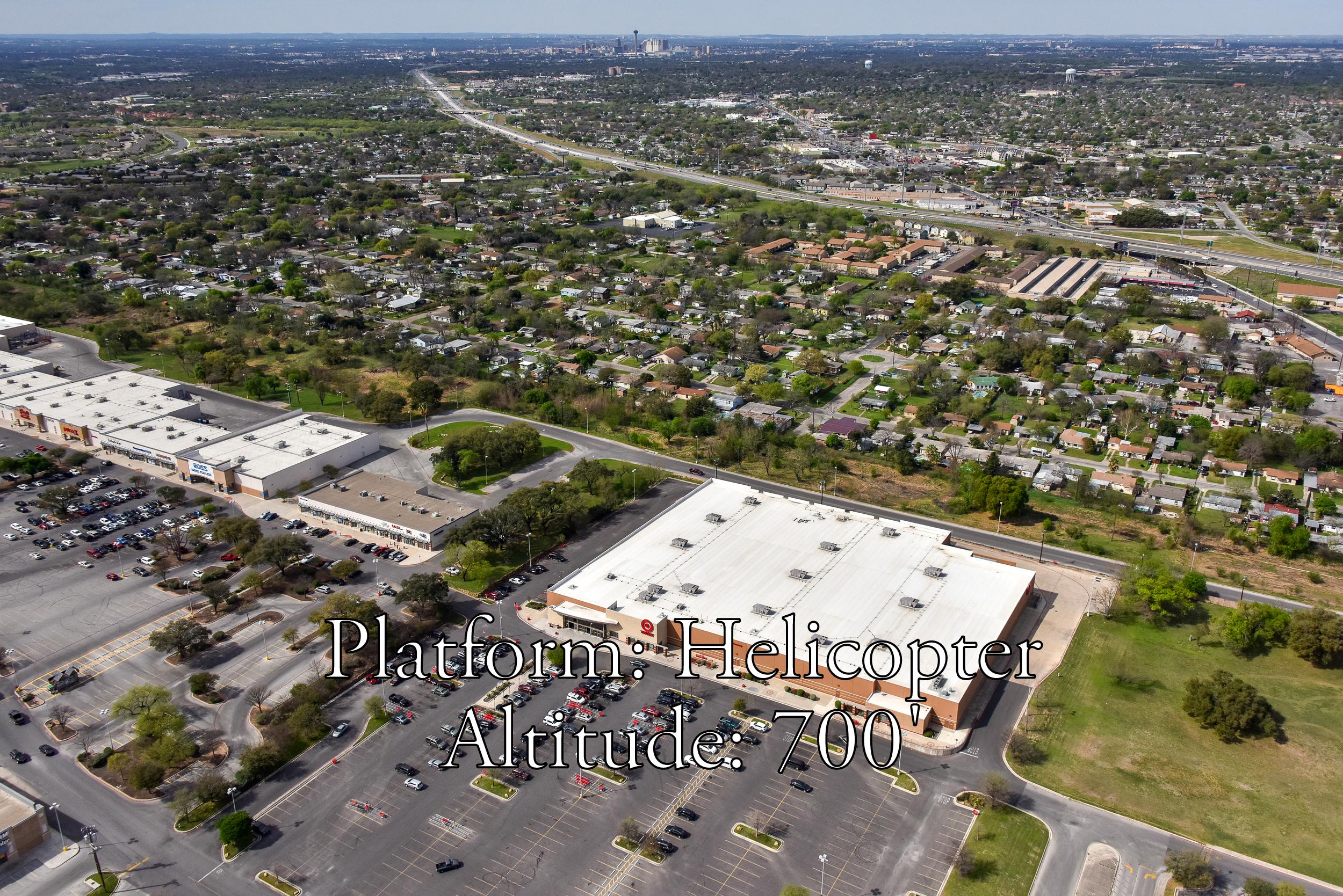
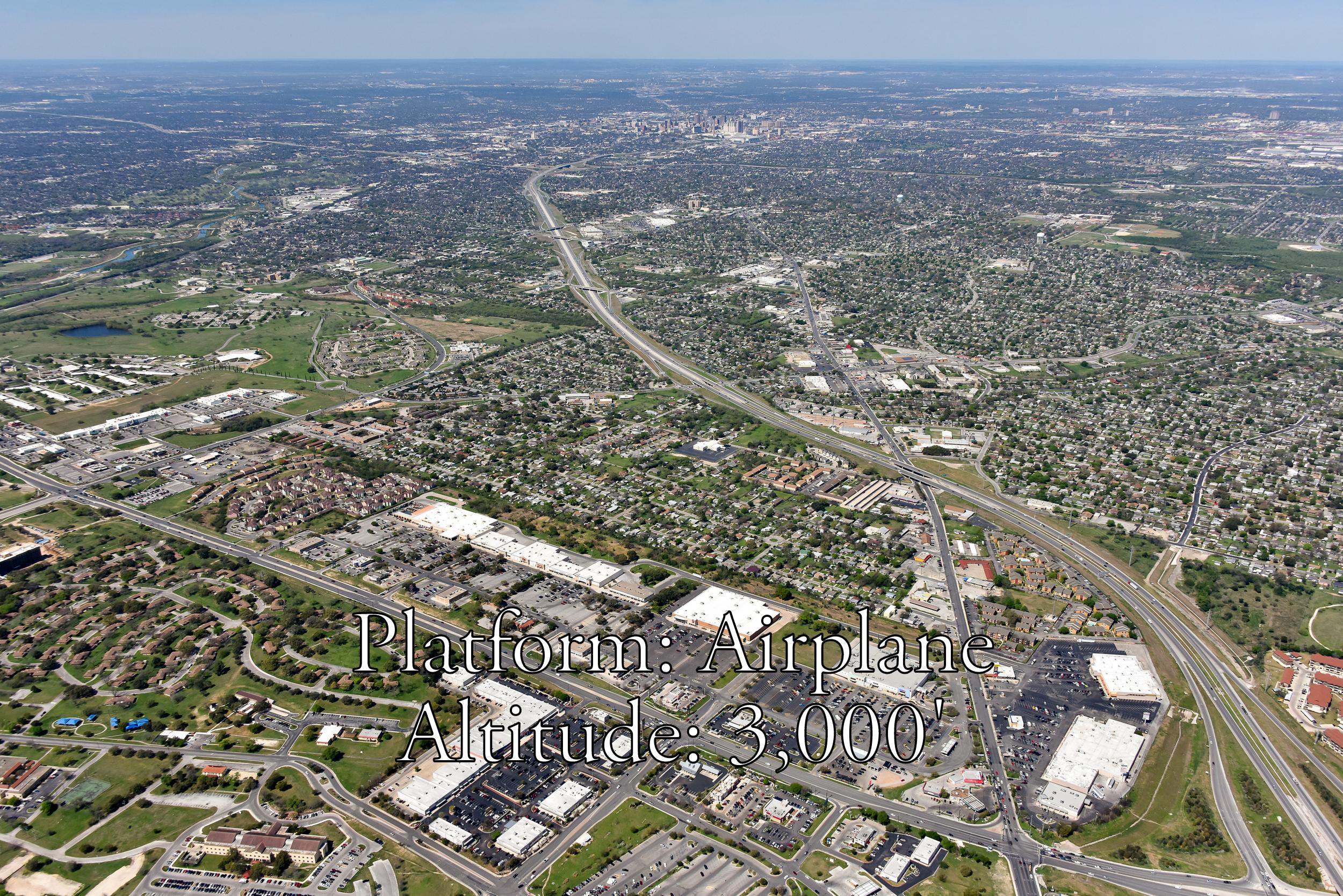
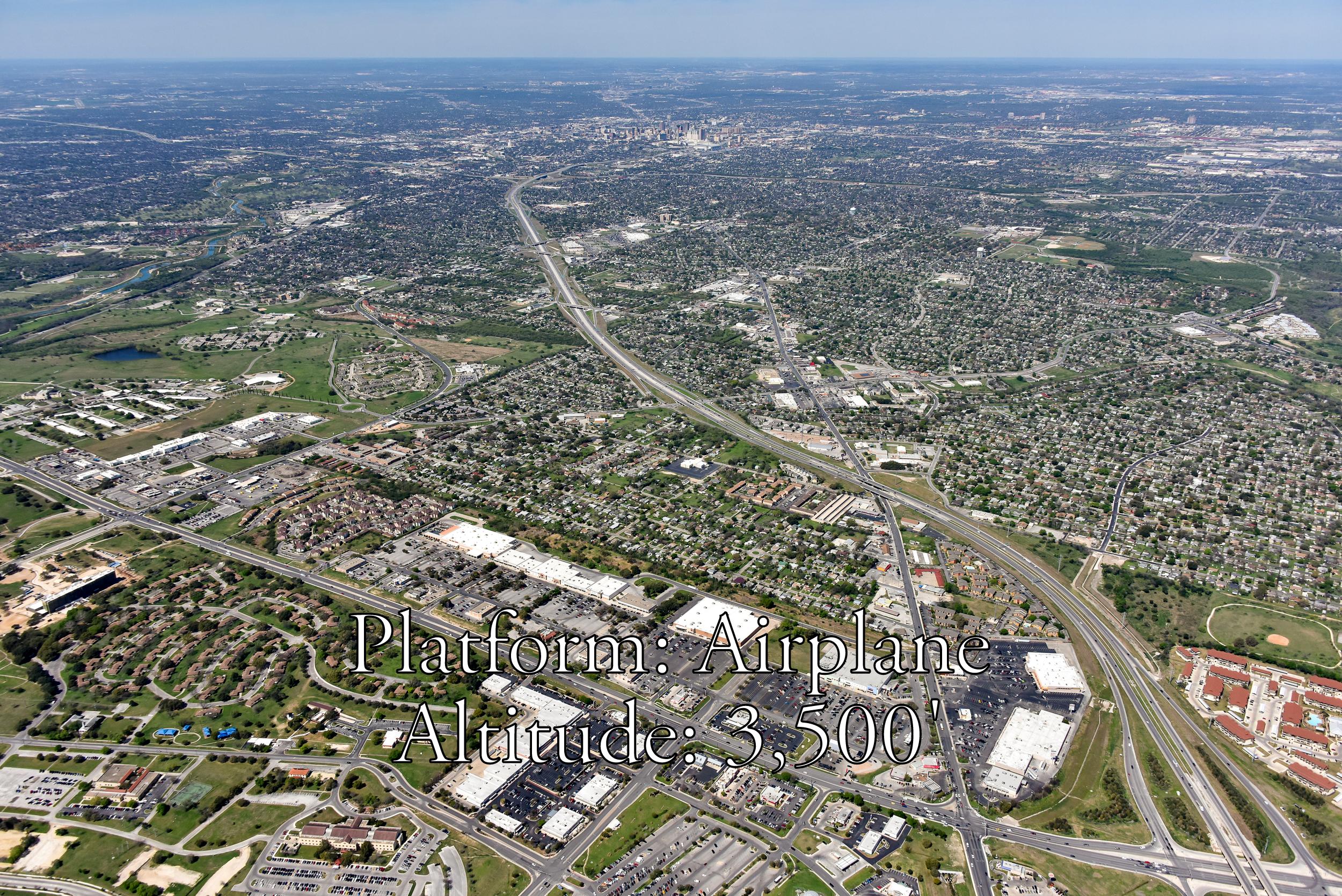
Not sure whether you need ground, drone, helicopter, or airplane photos? Use the samples below, all taken of the same property from varying altitudes from ground level all the way up to 3,500' above ground level to help you decide.
Whichever platform or altitude that you decide is best to showcase your property, we can do it! From professional architectural (ground) photos, elevated ground shots, drone, or aerial photos from helicopter or airplane, we're your one-stop source for real estate photography. Call us today at 210-828-5366 to discuss which platform is right for you.
