

Aerial Drone Photography
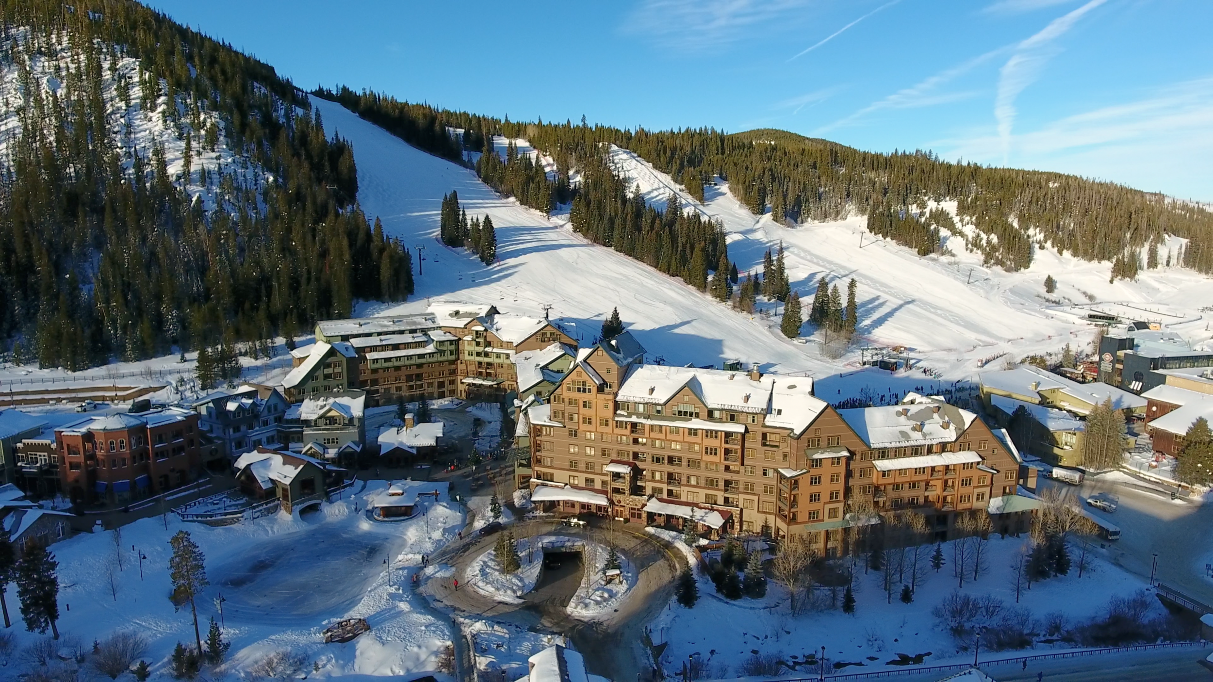
Aerial drone photography can add a fresh new perspective to your marketing collateral. In addition to your standard package of ground photos and higher altitude aerial "market shots", low-altitude drone-based aerial photography can complement your marketing package with more intimate "glamour shots", giving your marketing materials a more comprehensive look. Red Wing Aerials is fully licensed and certified under FAA Part 107 and can help you with drone-based aerial photography wherever it is legal to do so. Give us a call at 877-324-2533 to discuss your project!


SITE LOCATOR
Get things started with our easy-to-use app...
FAQs
-
Aerial photography refers to the capture of a photographic image from an airborne platform, such as an airplane, helicopter, drone, or satellite. Aerial drone photography refers specifically to imagery captured from an airborne drone, often referred to as an Unmanned Aerial System (UAS) or Unmanned Aerial Vehicle (UAV).
-
The cost of drone photography can vary widely, depending upon the scope of your project, from a low of $100 to many thousands of dollars. Most drone photography projects utilized for commercial real estate purposes will range from $150 to $350, again, depending upon the scope of the project and other factors, such as distance traveled, and proximity to flight-restricted zones near airports. Click here to request a quote for your drone photography project.
-
You should consider booking drone photography at least a couple of weeks in advance if at all possible. Booking early gives the photographer the best chance of being able to capture your images on a nice, sunny day. Good weather conditions and appropriate lighting make for vivid images with colors that pop and show your subject in the best possible light.
-
The difference between satellite imagery and drone photography is significant. Satellite imagery is used to view a property, or area from a vertical view, looking straight down on the area. While drone photography can also be used to create a vertical image, and may be more cost-effective in doing so over a smaller area, the real value that drone photography brings to a project is its ability to capture very low-altitude “oblique” imagery (looking out, across the property from an aerial perspective) of a specific property.
-
Once we have captured and edited your drone aerial photography, we will upload the images to our cloud servers and send you a link to download usually within a day or two. In some cases, when downloading the images is an issue for our client, we may send the images on a CD, flash drive, or external hard drive.